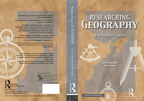
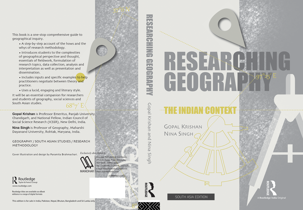
This was my second or third book cover assignment, in 2016, for the South Asia edition of an academic volume on studies in Indian geography to be published from Routledge, Taylor and Francis.
For the selected option (above), I had used a near monochrome pastel palette. To represent the map of India, I made a rhombus-esque shape out of dotted lines joining the Western, Northern, Eastern and Southern-most extremities of our country, and marked each point with their corresponding latitudes and longitudes. The dotted horizontal line running across the spread, of course, is the Tropic of Cancer. I thought the dropped pin might make it look a little more contemporary.
The cover option below is one of the others that were not chosen. While it had very pleasing earthier rust tones, I suspect it may have been severely disadvantaged by the appearance of an actual map, over the more symbolic one above.